Bringing Clarity to Complex Landscapes
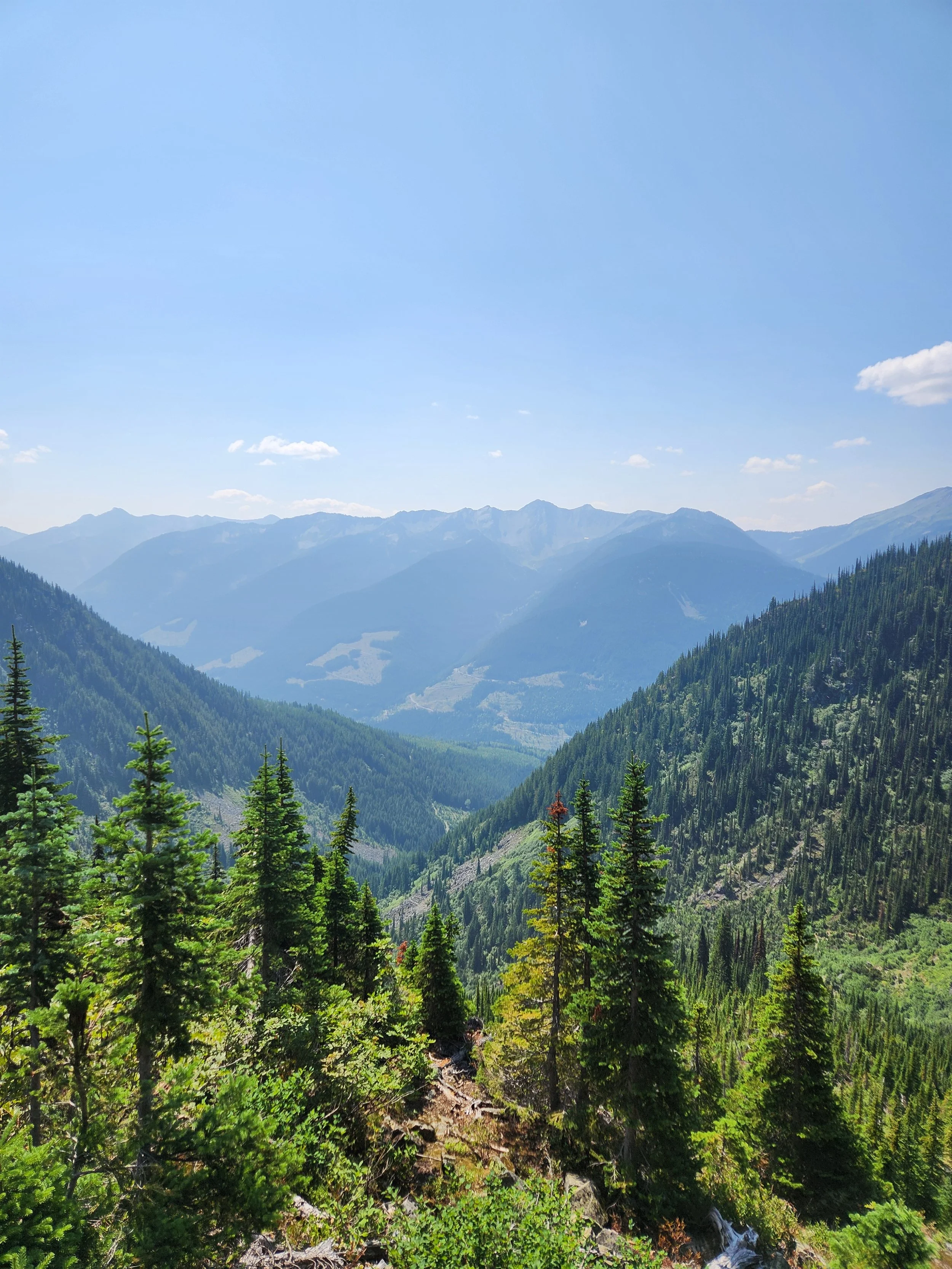
Geospatial solutions that support conservation, wildfire resilience, sustainable forestry, and a wide range of GIS needs across British Columbia—from foundational mapping to advanced planning.

GIS Consulting, RECREATION and Land use management based in Kaslo, BC
At Vivid Geographic Inc., we offer practical, intuitive GIS-solutions and data-driven services tailored to your goals. With deep roots in the West Kootenays and a passion for turning complex data into useful tools, we help you make better decisions backed by better data.
Clear Communication
We break down complex situations and technical information into language and visuals that are easy to understand and act on.
Practical Precision
Every map, database, and tool is designed with intention — making for accurate, reliable, and tailored information for real-world use.
Collaborative Approach
We take the time to understand your unique goals and workflows, building solutions that truly support your team and purpose.
Serving professionals and organizations across British Columbia + beyond.
Our Services
We provide a full picture service — from analyzing your data to visualizing it on a web-mapping application, we’ll support you in communicating key insights in a way that makes sense to both you and your stakeholders.
-
We have over 12 years’ experience working in the local government environment as both a Planning and GIS technician, working to review Building Permits, Bylaw amendments and Enforcement.
We provide support for Municipalities and Regional Districts, but also those navigating the sometimes confusing regulatory processes such as:Building permit applications
Zoning and OCP amendments
Development Permit applications
Variances
Local Government data compilation and maintenance
-
Marie initiated and coordinated the creation of the Kaslo Mountain Bike Club. Through harnessing the energy and excitement of a small few, she was able to develop a 5 year plan that looked at sustainable trail development for the area. Using provincially and locally available data, she developed maps and constraints analysis to prioritize future projects. Her strength in grant-writing and on-screen trail design, secured almost $400,000 for the design and building of the Friendly Giant.
Recreation Planning & Coordination
Trail development
On-screen layout and design (GIS)
-
From static maps to interactive web applications, we design clear, custom GIS solutions that communicate your message effectively. We also provide expert guidance to help you navigate and plan your projects with confidence.
Web, Mobile & Cloud-Based Mapping
Database Development & Maintenance
Static Map Creation (for printing, onscreen display & reporting)
-
We organize, build, and manage geospatial databases so your data is accurate, accessible, and easy to use. Whether starting from scratch or streamlining what you already have, we ensure your data supports your goals.
Database Development
Data Management
-
We help you get the most out of your GIS tools and data—solving problems, uncovering patterns, and providing support with ArcGIS platforms. With deep knowledge of datasets across BC and Canada, we make your work easier and more informed.
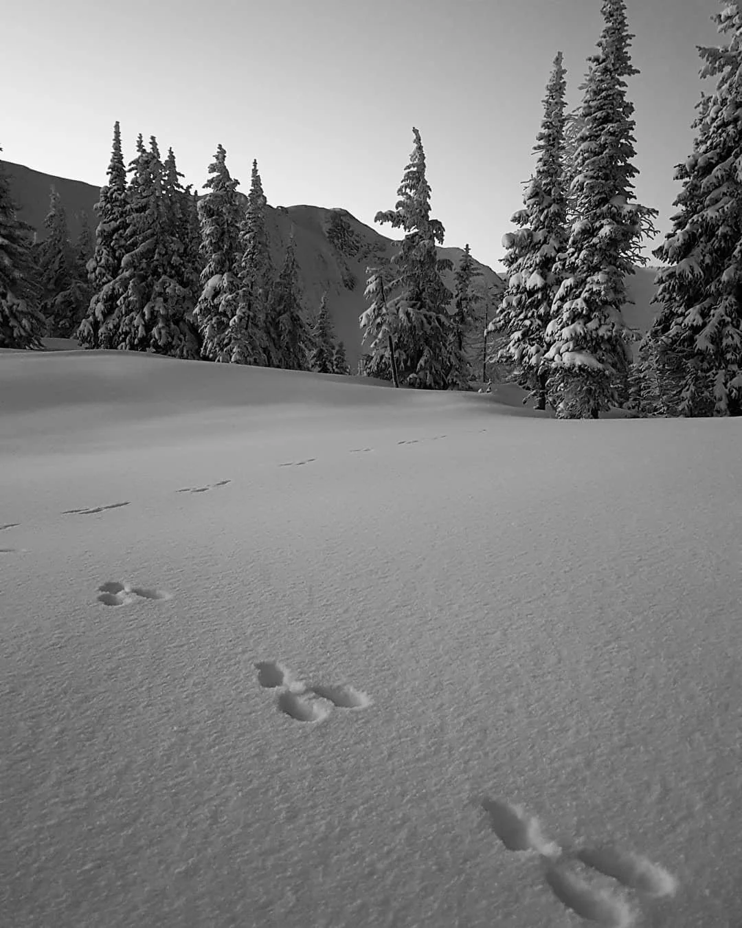
Threat & Constraint Analysis for Forestry, Recreation & Conservation
ESRI Support (Including ArcGIS Pro, Survey123 and ArcGIS Field Maps)
Stakeholder Communication Support
FSC Certification & SBP Certification Spatial Support

We’ll help you see the full picture
The earlier we're involved, the better the outcome—GIS can help shape smarter strategies, not just visualize them. Learn how we can help you see things clearer from the start.
“I started Vivid Geographic to help organizations bring their ideas to life with accurate, thoughtful, and user-friendly geospatial support. Whether you're building a visual tool for your team, planning for a wildfire resilience project in your area, or organizing data across teams—I'll help you make sense of it all.”
Work With Us
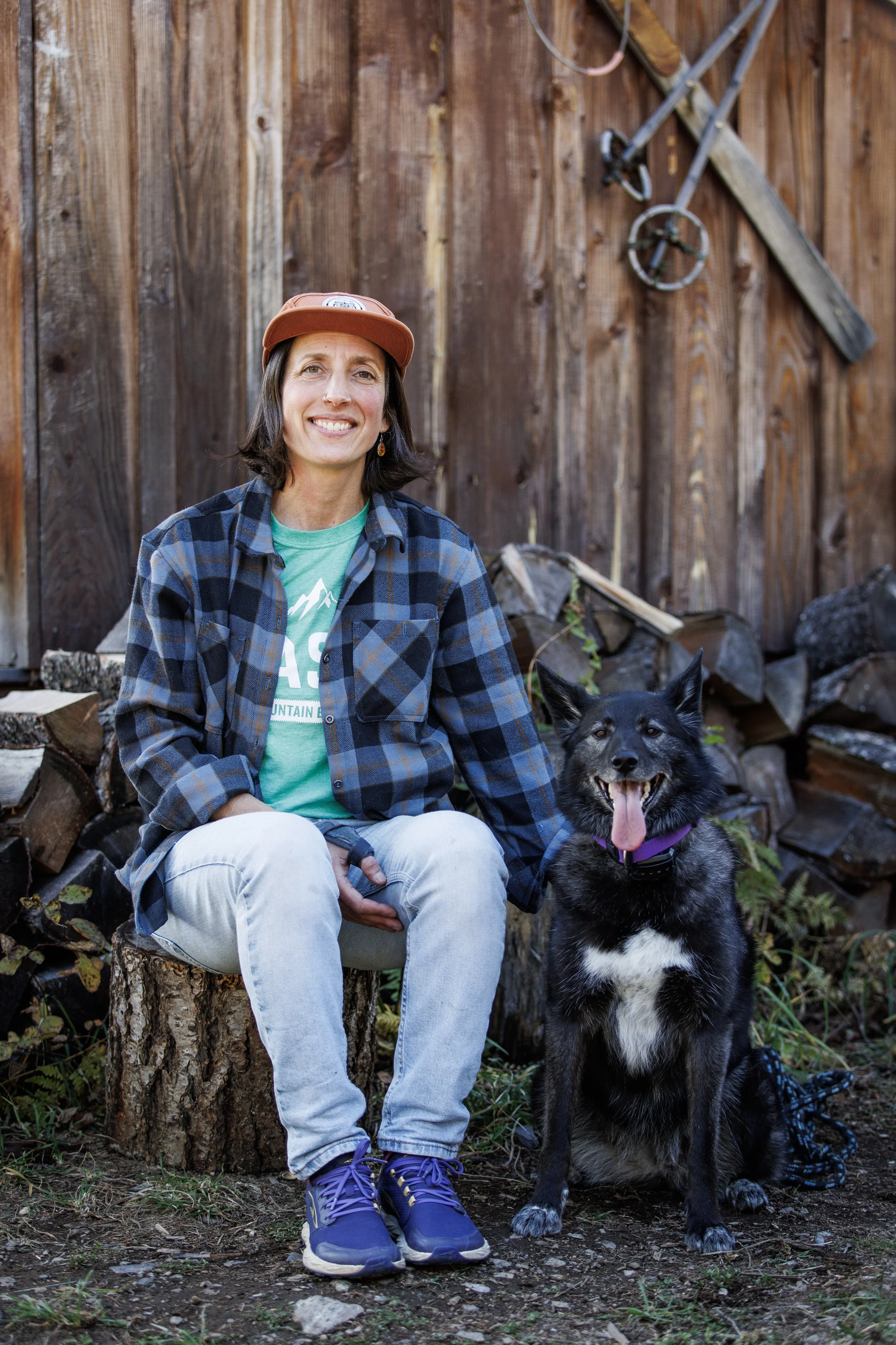
Meet Marie-Ange, GIS-Consultant + Specialist
With over 15 years of experience delivering GIS-solutions to clients across BC, Marie-Ange brings a rare blend of technical skill, local knowledge, and grounded communication to every project. Her background also includes work in community planning, with a more recent focus on landscape and resource-based planning—from recreation management to wildfire mitigation.
Her work is rooted in a deep love for wild places and a commitment to building real relationships with her clients. From her home base in Kaslo, BC, Marie-Ange works with clients throughout the Kootenays, the Interior, coastal regions, and across Canada.